
Sources for Ingham County Neighbors
Public records describe a block in layers. The map establishes which parcels are actually next to the target. BS&A then reports the property fields connected to each parcel. Recorded deeds supply ownership transitions, while a QVF request or old directory has its own narrower purpose. None of those sources creates a complete current household roster. Ingham County neighbors are best understood by recording the source label beside every name or address.
| Source | What It Shows About a Block | Access |
|---|---|---|
| GIS adjacent parcels | Parcel geometry, street segment, districts, and neighboring parcel IDs | Public viewer with identify/select and map browse |
| BS&A per parcel | Owner, taxpayer, mailing and situs address, value, characteristics, and sketch | Public address, name, or parcel search |
| Register of Deeds | Ownership transitions and legal descriptions for each parcel | Free index from 1956; images and vault route for earlier material |
| QVF request | Registered names, addresses, and status for permitted geography | Written state request; protected fields withheld |
| Polk street section | Historical people and businesses at numbered addresses | CADL, MSU, and database collections |
| East Lansing associations | Neighborhood boundaries, civic contact, and initiative information | City map and association pages; no universal member list |
A tax owner can be a person, trust, estate, corporation, attorney, bank, or representative. The mailing field shows where notices go, not necessarily where the owner lives. An assessor roll also does not name every non-owner occupant, household member, guest, or other person present. That distinction protects against treating a parcel list as a list of all neighbors.
Map Ingham County Neighbor Parcels
Start with one target parcel in the Ingham County Equalization Tax Mapping Viewer. Zoom until the surrounding polygons are clear. The method is bounded by map geometry, not by the closest visible street number. Corner parcels, alleys, common drives, irregular lot shapes, and parcels behind a street can change which properties actually touch or front the same segment.
- Search or zoom to the target street address, then identify the parcel polygon.
- Record the parcel IDs of polygons that share a boundary or the relevant street segment. Include a corner or alley parcel only when the map shows that relationship.
- Open each recorded ID in BS&A and save the owner, situs, and mailing fields with a “neighbor parcel” label.
- Use the parcel's legal description, deed, or plat if a boundary needs more checking. The displayed GIS line is not a legal survey.
- Move to the Ingham County by-street directory only when the task becomes a full named-street record chain rather than an immediate block review.
The Ingham County Equalization Tax Mapping Viewer is the public route for parcel mapping and tax or assessment context.
The viewer links the map to parcel and assessment details. Its available layers can include roads, municipal boundaries, districts, zoning, flood, or other geographic context, but a layer should be read as context rather than proof of a legal boundary.
Compare Ingham Parcel Records
BS&A supports Address, Name, and Parcel Number searches. After a parcel is identified, its result can display a property address, owner or taxpayer block, mailing address, assessed and taxable value, building data, acreage, sketch or photo, and tax information. A local-unit page may be more current than a county-level result, so the selected municipality matters.
Keep the property or situs address separate from the owner or taxpayer mailing address. The situs address answers where the parcel is. The mailing address answers where notice is directed. A homestead exemption can be an owner-occupancy clue, but it is a tax classification that can lag a move or remain under review. A deed address is likewise an address supplied at recording, not a present-location guarantee.
| Parcel field | How to read it for a block |
|---|---|
| Parcel number | The stable local key to save before comparing names or streets. |
| Property or situs address | The land location associated with the parcel. |
| Owner or taxpayer | The tax-roll party, which may differ from an occupant. |
| Mailing address | Where tax notices are sent, not a residence conclusion. |
| Legal description | The lot, block, subdivision, or survey language used to test adjacency. |
For a transfer trail, the Register of Deeds index adds grantor, grantee, recording date, document number or book and page, instrument type, and legal description. The free index starts in 1956, with a conversion-discrepancy warning for 1956 through 1981. Pre-1960 work and a crucial early-index check belong at the Mason vault by appointment.
Ingham QVF Block Limits
The Michigan Voter Information Center is for an individual's registration status and related address or clerk context. It is not a public browse tool for all Ingham County neighbors. A researcher seeking a broader file must use the written Qualified Voter File request, where the permitted geography is entire county, jurisdiction, district, county commissioner, State House, State Senate, congressional district, school, village, or ward and precinct.
Public QVF fields may include complete name, residential address, mailing address if available, year of birth, registration date, status, voter ID, and requested history. Month and day of birth, driver's-license or state-ID number, phone, email, digitized signature, last four Social Security digits, and some application data are withheld. Michigan does not register voters by party, and voter history records participation rather than a ballot selection.
Use a jurisdiction or precinct request because it is a government geography, not a ZIP approximation. A result can show a registered address and status, but it does not establish occupancy on the date searched. Protected voters and Address Confidentiality Program participants require special handling and should never be reconstructed into a street-level list.
Ingham Neighbor Association Contacts
East Lansing provides the clearest civic layer in the county through its Neighborhood Partnerships Initiative and the companion association directory. These are community contacts, not public member rosters. Individual groups may choose to publish a contact channel or boundary information, but a name on an association page does not prove residency or membership for every address in the area.
| Area or organization | Public detail | Contact route |
|---|---|---|
| Neighborhood Partnerships Initiative | City-sponsored association map, staff liaison, and enhancement grants | City Hall, 410 Abbot Road, 517-337-1731 |
| Abbott Parkside and Abbott Woods | Listed neighborhood pages with civic and social purposes | East Lansing Neighborhoods individual pages |
| Bailey Community Association | Listed association advocating for the Bailey neighborhood | Association or city neighborhood page |
| Brookfield Heritage | Listed association; the directory describes about 100 homes | Neighborhood page |
| Chartwell, Chesterfield Hills, and Crossings | Condo or neighborhood pages with boundaries or representative contacts | Neighborhood directory |
| Pinecrest, Tamarisk, Walnut Heights, and Whitehills | Community pages for communication and local spirit | Neighborhood directory |
| Downtown, Burcham, Avondale, Oakwood, and Red Cedar | Listed association or neighborhood coverage | Official partner directory |
| Lansing Neighborhoods and Citizen Engagement | City support for neighborhood organizations and civic dialogue | Lansing city contact; no public member roster |
The East Lansing Neighborhood Partnerships Initiative supplies the city program and liaison context. Ask a group only for the public contact information it chooses to provide. A current neighborhood affiliation is not a parcel, voter, or directory field.
Ingham Block History Records
CADL and the Historical Society of Greater Lansing add dated context when a block question is historical. CADL holds school yearbooks, biography and subject files, newspaper name cards, oral histories, city directories, and local-history material. The Historical Society's collections include schools, clubs, worship communities, military, unions, government, and businesses. These sources can show a community connection or past address, but they do not establish a current block roster.
CADL Local History collections organize processed material that can support a dated address or community search.
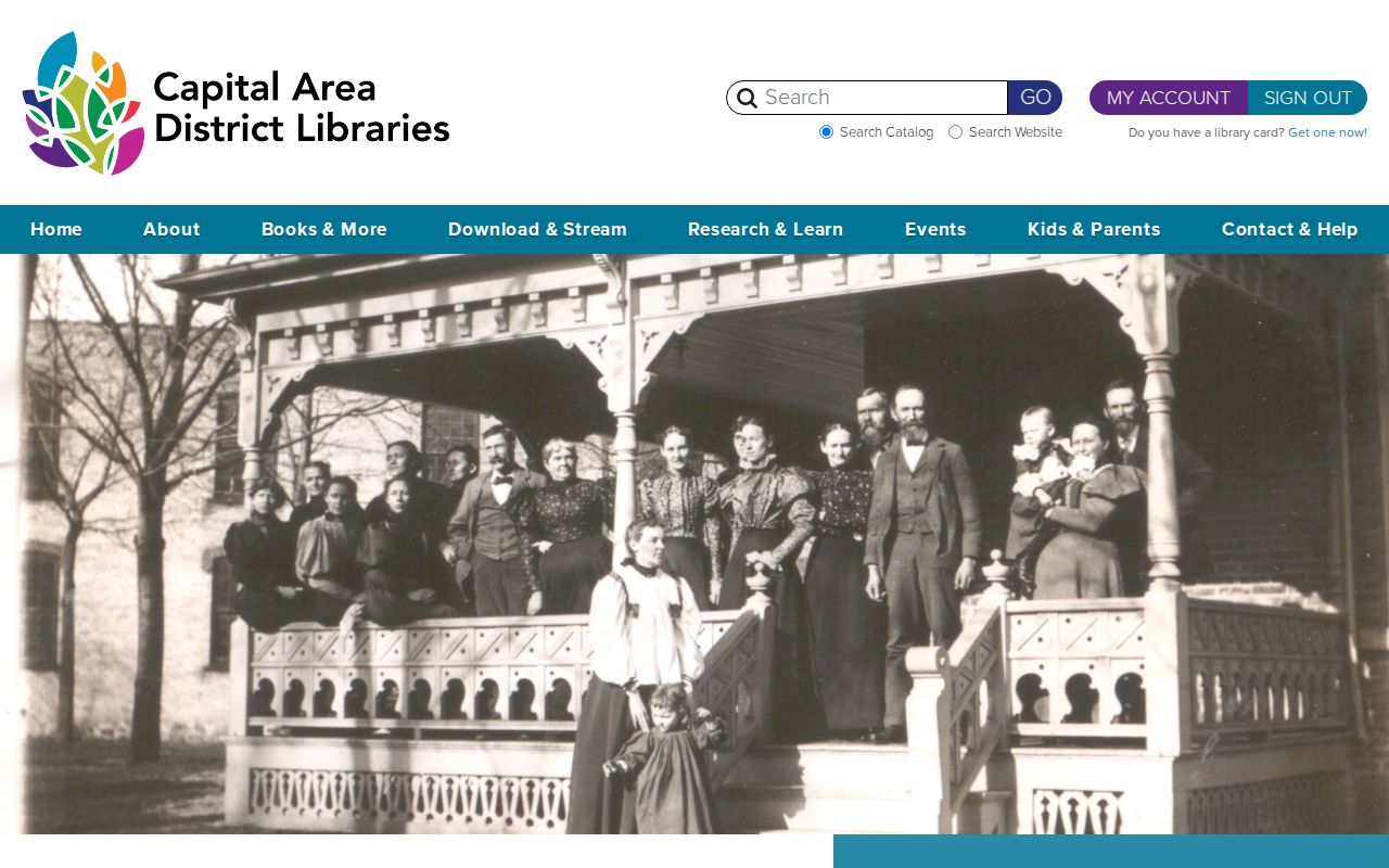
CADL's collections are especially useful when an address appears in a directory, obituary notice, school reference, or local newspaper. Label the year of each result because a directory entry is an annual snapshot.
The Historical Society of Greater Lansing collections provide a second local-history route for clubs, worship communities, civic groups, and photographs.
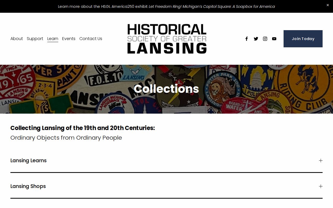
The Historical Society material can clarify the civic history around a parcel without turning a historical affiliation into a claim about present neighbors.
Ingham Records Versus Neighbor Tools
Commercial neighbor-lookup tools combine parcel, directory, marketing, and other data. They can misattribute people, omit protected addresses, and preserve stale information. The official sequence is slower, but every result has a named custodian and a field definition. Compare the source before relying on the name beside an address.
| Official record path | Commercial neighbor-tool category |
|---|---|
| GIS supplies a mapped parcel ID and geographic context. | May infer a nearby relationship from a street address or compiled map data. |
| BS&A identifies tax-roll owner, taxpayer, and separate situs or mailing fields. | May combine dated names and addresses without showing their record date. |
| Deeds document a recorded transfer and legal description. | May treat an old recorded party as a current person at the parcel. |
| CADL and HSGL preserve historical directories and community material with a time frame. | May present historical data without enough source or date context. |
For Ingham County neighbors, keep the parcel ID, source name, and record date together. That basic discipline makes a correction possible when an address split, an ownership change, or an old directory entry would otherwise blur the block.
Privacy Limits for Ingham Neighbors
Some information should remain private even when a parcel is public. Non-owner occupants may not appear in the assessor roll. Family and household members are not automatically public. Utility, delivery, and DMV address information are not general public sources. The Michigan Address Confidentiality Program gives eligible participants a substitute address and confidential handling rules, so a public result may omit or substitute location information.
Ask for the narrowest record set and date range that answers the question. If an address is protected, contact the relevant program or custodian rather than trying to connect substitute and actual locations. A public record can be available while a particular use of it is still harmful or unlawful.